
Main Literacy
Manado (DreamLandLibrary) - ENTAH WHY, SUDDENLY GOOGLEMAP ELIMINATES THE STRUCTURE SINCE JANUARY 2012 THEN
For the Indonesian people, Nuswantara (Nusantara) is also known to cover the land of Irian Jaya (the island of Papua). One of the largest islands in the world contains many mysteries that have not been revealed.
It turns out that in the northern waters of one of the largest islands is also stored an amazing mystery!
When the Earth was in the ice age thousands of years ago, the island of Irian was much bigger. The southern part is still connected with the Australian continent.
Likewise in the northern coast of the island of Papua, the land is broader than it is now. Its land is still far stretching to the middle of the sea hundreds of kilometers because the sea level at that time was still shallower than at present.
Sea level that is still shallow or still low is due to the ice spread region at the north and south poles which have not melted much like now.
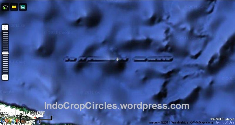
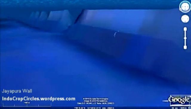
 Off the coast of the northern part of this large island, it is estimated that there are building structures similar to "beteng" (lay: fortress) whose length is 110 km and the height is as high as a mountain: 1860 meters, with a width of 2700 meters!
When seen, this structure is more like a "wall" or "wall". And amazingly again this wall perfectly extends perfectly 110 kilometers long!
If true, it is clearly beteng like this could not have been made by ape or primitive human civilization, given the tallest building in the modern age alone, the height is only about 800 meters, the Dubai tower. While this building has risen 1860 meters or more than 2 times the height of Dubai Tower!
This building could not have been built by people who were only armed with chopsticks, swords, krisses and spears, and also could not have been built by people whose means of transportation were limited to donkeys, horses and carts.

The structure is located offshore not far from the largest city and also the capital of Papua, Jayapura. Therefore the structure is temporarily called Jayapura Wall or Jayapura Wall.
Using Google Maps, the amazing coordinates of the Beteng are seen in the Pacific Ocean, which is in the northern part of the island of Papua (Irian Jaya) at 1 ° 59 '46.9 "S and 141 ° 29 '24.6239" E (see via satellite)

Main Literacy
Source: http://ahmadsamantho.wordpress.com/2012/10/29/misteri-wow-struktur-mirip-tembok-lurus-di-dalam-laut-utara-papua/
Photo: Special


